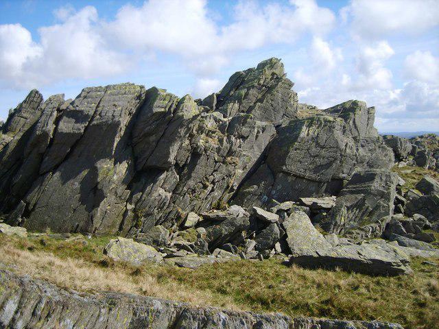
Raven's Crag [nameless (Stickle Pike - Raven's Crag)]

Raven's Crag [nameless (Stickle Pike - Raven's Crag)]

Raven's Crag [nameless (Stickle Pike - Raven's Crag)] Group Walks | Join a Walk

361m Elevation
30m Prominence
England Country

Join group walks, find walking companions and friends, or organise your own!

Classifications

Wainwright Outlying Fell Birkett Sy

Looking for walking companions?

Don't walk alone! Find friendly walkers to explore Raven's Crag [nameless (Stickle Pike - Raven's Crag)] together. Join scheduled group walks or start your own.

Elevation

361m

1,184 ft

Prominence

30m

Coordinates

54.3260, -3.1951

SD223929

OS Map

96

Explorer: OL6N

At the Summit

The summit boasts a distinct rocky outcrop with a small cairn marking the top, providing a perfect spot for a selfie with the picturesque backdrop of the Lake District.

Terrain & Geology

Rocky and grassy

Raven's Crag is primarily composed of igneous rock, specifically basalt, which lends itself to dramatic cliff faces and steep inclines. The geological features here are the remnants of ancient volcanic activity, shaping the rugged landscape we see today.

Views & Scenery

From the summit, you'll be rewarded with breathtaking views of the Langdale Pikes, Windermere Lake, and the surrounding fells.

History & Heritage

Name Origin

The name 'Raven's Crag' likely derives from the Scottish Gaelic word for 'raven', reflecting the wildlife that can be found in the area.

Historical Significance

The mountain has significance for local hikers as a less well-known gem in the Lake District, offering solitude away from the busier routes.

Popular Routes

Stickle Pike Approach

Moderate

A well-defined path from the small village of Ambleside leading up to Stickle Pike, providing stunning views along the way.

6.5 km 2.5 hours

Getting There & Facilities

Parking

There is ample parking available in the nearby village of Ambleside. Be sure to arrive early, as spaces can fill up quickly.

Public Transport

Regular bus services connect Ambleside with other major towns like Windermere and Coniston.

Nearby Facilities

Cafes and pubs are plentiful in Ambleside, with opportunities for refuelling after a hike. Toilets can be found in the town centre.

Safety Information

Known Hazards

  • Loose rocks on the ascent can be treacherous, especially when wet. Watch your step, or you might just lose your footing!

General Safety Tips

  • Check weather conditions before setting out
  • Carry appropriate clothing and equipment
  • Let someone know your planned route
  • Take a map, compass, and GPS device
  • Carry emergency supplies: food, water, first aid kit, torch

Find Walking Companions

Join friendly walkers exploring Raven's Crag [nameless (Stickle Pike - Raven's Crag)] and surrounding area

Can't find a walk? Organise your own!

Create a walk and let others join you. It's free and easy!

Hills

Some common questions about the hills answered

Are there group walks up Raven's Crag [nameless (Stickle Pike - Raven's Crag)]?

Many walkers use Walkmates to join or organise walks with others. You can check for group walks around Raven's Crag [nameless (Stickle Pike - Raven's Crag)] through the maps

Are there other walkers around Raven's Crag [nameless (Stickle Pike - Raven's Crag)]?

Activity varies by location and time, but Walkmates lets you see whether others have shared walks or shown interest in this area. Find other people through the walking friends search walking friends for Raven's Crag [nameless (Stickle Pike - Raven's Crag)] search or of course create your own walk for Raven's Crag [nameless (Stickle Pike - Raven's Crag)]

Can I organise a walk to Raven's Crag [nameless (Stickle Pike - Raven's Crag)]?

Yes. If there aren’t any walks listed already, you can create a walk and make it available for others to join.

If you're signed up to Walkmates, you can create a walk to Raven's Crag [nameless (Stickle Pike - Raven's Crag)].

How do I find a walk up this hill?

There are often multiple ways to walk this hill, depending on experience and route preference. Walkmates helps you explore walks and routes that others have shared.

Can I suggest a new route up Raven's Crag [nameless (Stickle Pike - Raven's Crag)]?

Yes. You can suggest or create routes to share with others. Walkmates focuses on the social side of walking, so routes are used to help people organise walks and explore areas together, rather than as detailed navigation tools or route libraries.

Other uses really appreciate knowledgeable walkers sharing their routes. Share your favourite route to Raven's Crag [nameless (Stickle Pike - Raven's Crag)] here

The is an error or something incorrect about this hill. How do I let you know?

We always strive to keep the information on Walkmates as accurate as possible. If you find an error, please let us know through the contact form and we'll aim to correct it as quickly as possible